Lycian Way near Fethiye: Hiking from Ölüdeniz to Faralya
The first stage of Turkey's famous Lycian Way is a superb day hike with coastal views. Here is what to expect, when to go and how to prepare.
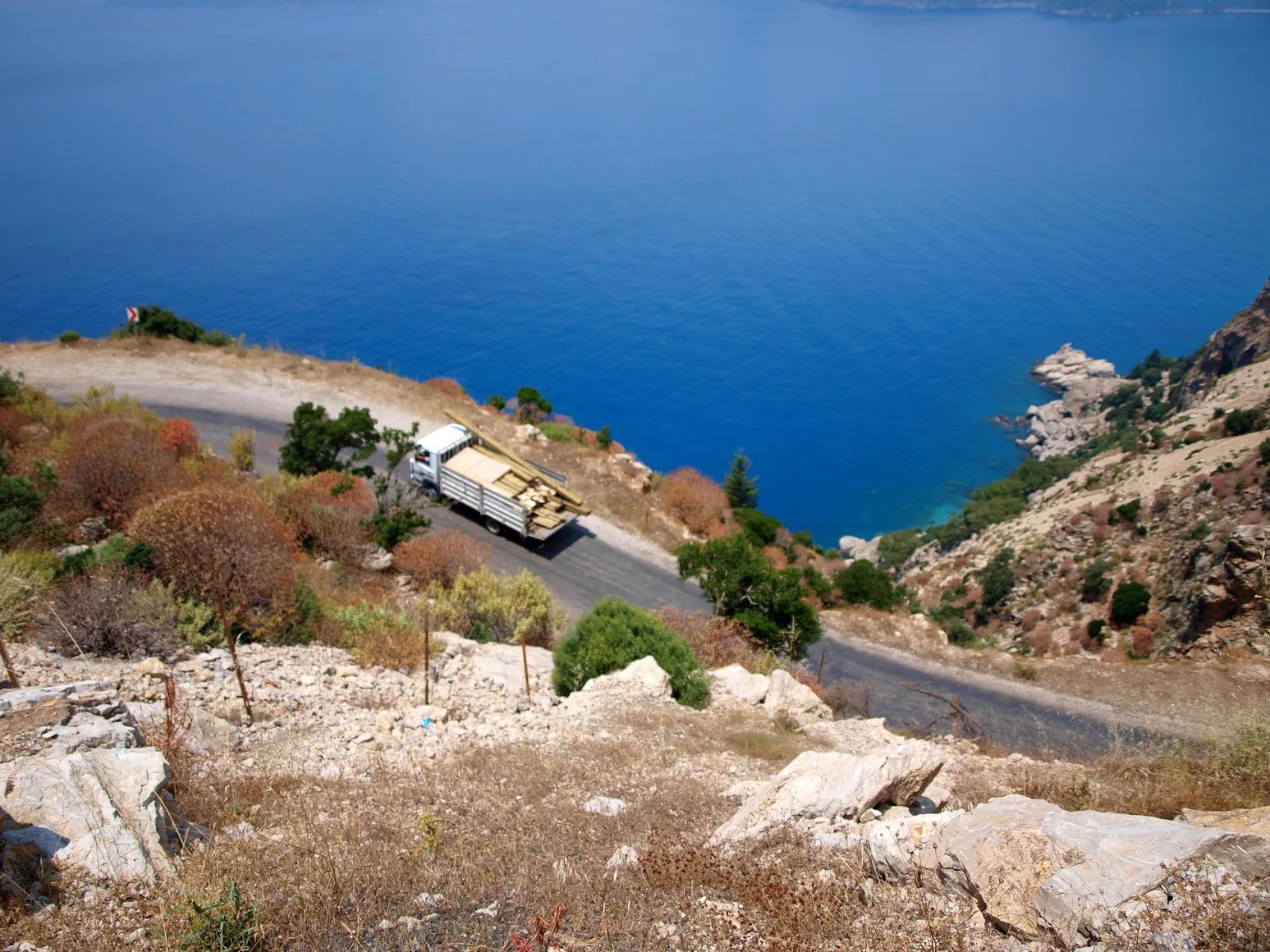
The Lycian Way (Likya Yolu) is Turkey's best-known long-distance footpath, a waymarked route of roughly 500 km that follows the coast of ancient Lycia from near Fethiye towards Antalya. You do not need weeks to enjoy it. The very first stage, which starts in the hills above Ölüdeniz and climbs to the clifftop village of Faralya, is a good day hike with some of the finest views on the whole coast. This guide explains what to expect, how to prepare and when to go.
What the Lycian Way is
The trail was created in the early 2000s by linking old shepherd paths, mule tracks and Roman roads, and it is marked with red and white paint stripes on rocks and trees. It passes pine forests, villages, beaches, ruined cities and mountain passes. Most walkers do it in sections, staying in village pensions, and the first section near Fethiye is among the most popular. Official trail information and maps are available online, and it is worth checking the latest route before you set off, because sections change.
The first stage in brief
- Start: The hills above Ölüdeniz, in the Ovacık and Hisarönü area, close to where the road climbs from Fethiye.
- Finish: Faralya, a small village high above the sea and Butterfly Valley.
- Distance and time: about 14 km, usually 6 to 7 hours of walking with breaks.
- Difficulty: Moderate to demanding. There are long climbs, rocky sections and little shade for part of the way.
What you will see
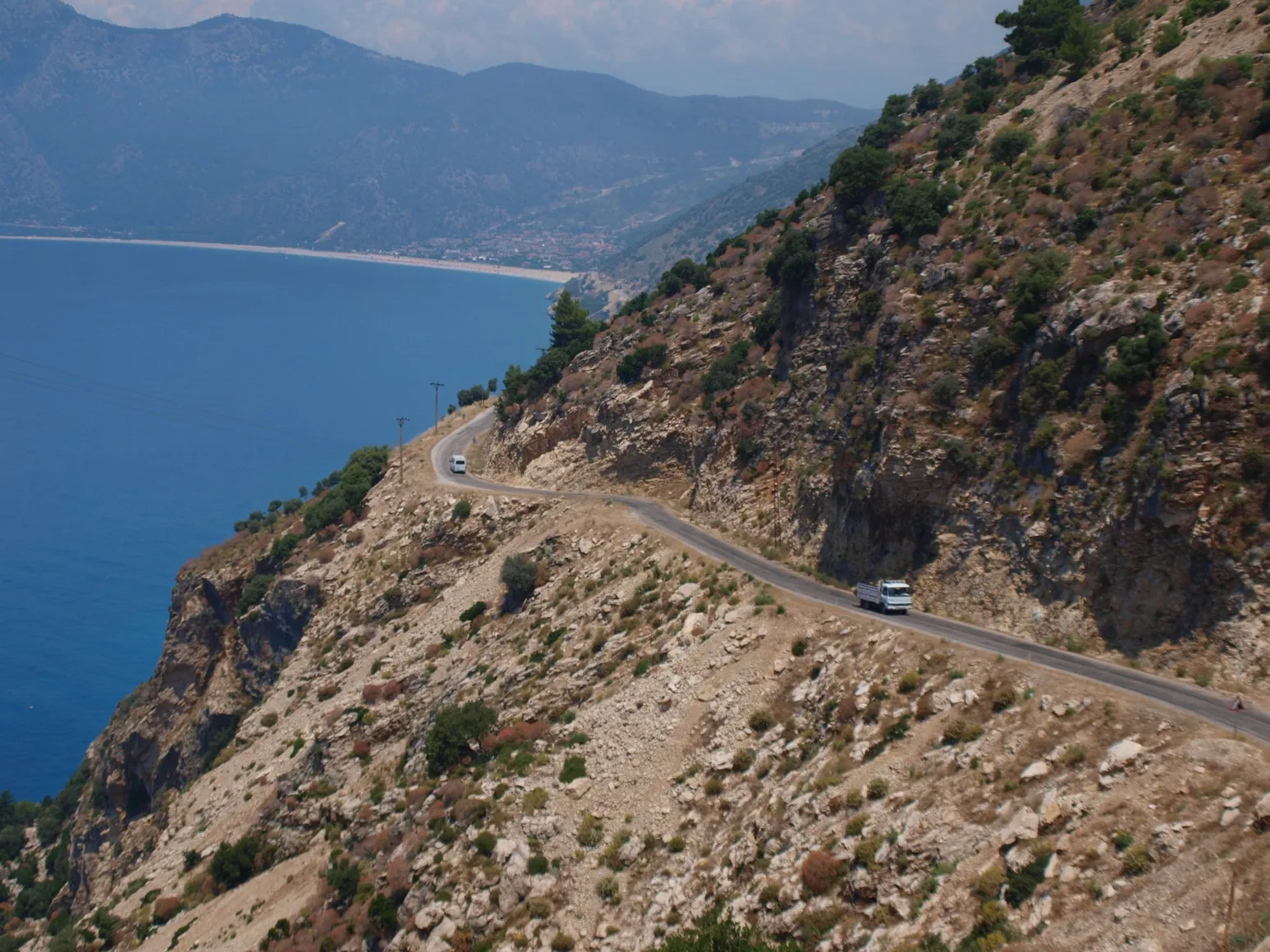
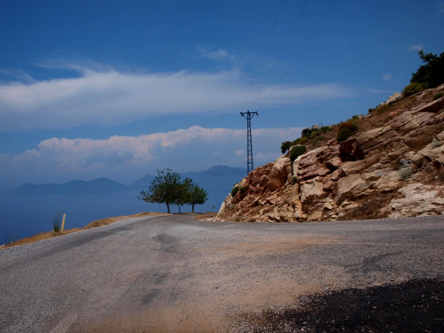
The trail climbs through pine forest and open rocky slopes, with views over the Ölüdeniz lagoon and the long line of the coast. Higher up, you reach a ridge with wide views over the sea, Babadağ mountain behind and the islands further out. The route then descends gently towards Faralya, where the village sits above a deep cliff and the cove of Butterfly Valley is far below. See our Butterfly Valley guide for how to visit the beach safely by boat.
Getting to the start and back
Take a minibus (dolmuş) or taxi from Fethiye towards Ölüdeniz and Ovacık, and ask for the start of the trail. Many walkers use a taxi for the early morning transfer. At the end, Faralya has a few pensions, restaurants and a road to the valley. Minibus service to and from Faralya is limited, and it varies by season, so ask locally and arrange your return in advance. You can stay the night in the village, which makes the day much more relaxed.
When to hike
- April to early June: The best months. The weather is warm but not extreme, and the hills are green.
- September to November: Also excellent, with cooler air and clear light.
- July and August: Very hot. If you go, start at dawn and carry extra water, or choose a different day.
- Winter: Possible on good days, but trails can be slippery and daylight is short.
What to bring
- Sturdy hiking shoes with ankle support and good grip. Trainers are not enough on the stony sections.
- At least 2 to 3 litres of water per person, since there are few reliable sources on the way.
- Sun hat, sunscreen, sunglasses and light long sleeves.
- Snacks, a small first aid kit and a charged phone with an offline map or GPX track.
- Cash for a meal and a bed in Faralya.
Safety
Tell someone where you are going. Do not leave the marked path, particularly near cliffs. Check the weather before you leave, because storms can make the rocks slippery. If you are not used to long hikes, consider doing only part of the stage or joining a guided walk from Fethiye. Mobile coverage is patchy in the hills.
Guided or independent?
Experienced walkers can do this stage alone with a good map or GPS track. If you prefer company or want local knowledge, several operators in Fethiye and Ölüdeniz offer guided hikes along parts of the trail. Check that the guide is licensed, ask about group size and what is included, and compare current prices.
Combine it with other plans
A natural plan is to hike one day and spend the next on the water. Read our Ölüdeniz guide for the lagoon and beaches, and our 3-day itinerary for how to fit a hike into a short trip. For camping rules along the trail, see our camping guide.
Frequently asked questions
Where does the Lycian Way start?
The waymarked trail begins in the hills above Ölüdeniz, in the Ovacık and Hisarönü area near Fethiye, and runs east along the coast towards Antalya.
How long is the first stage?
Roughly 14 km, usually 6 to 7 hours of walking. Check current maps and guides, because figures vary a little by source.
Can I hike the Lycian Way without a guide?
Yes, the trail is waymarked with red and white stripes, but use a good map or GPX track, carry plenty of water and check conditions before you go.
When is the best time to hike?
April to early June and September to November. Avoid the middle of the day in July and August.
Where can I stay in Faralya?
There are small pensions and guesthouses in and around the village. Ask locally and book ahead in high season.